
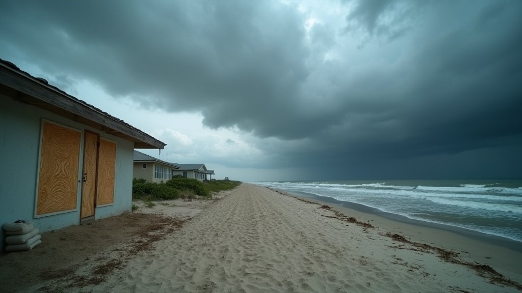
Tropical Storm Edouard is barreling toward the Texas Gulf Coast, triggering urgent warnings from federal and local authorities as the system tracks toward a Tuesday landfall. With the storm expected to undergo rapid intensification over the warm waters of the Gulf of Mexico, officials are bracing for the possibility of hurricane-force winds, extensive storm surge, and widespread flooding. Residents across the coastal counties are facing a critical window to finalize emergency preparations as state agencies mobilize response teams to mitigate the potential impact of this incoming weather event.
Key Highlights
- Imminent Landfall: Tropical Storm Edouard is projected to make landfall on the Texas coast this Tuesday, with potential for rapid strengthening.
- Hurricane Potential: Meteorologists are monitoring the system for rapid intensification, which could bring hurricane-force winds to the region.
- Severe Flood Warnings: Heavy rainfall and significant storm surge are anticipated, posing a major threat to low-lying coastal areas.
- Statewide Response: The Texas Division of Emergency Management (TDEM) has activated response protocols to assist local jurisdictions in evacuation and resource deployment.
The Meteorological Threat: Impact and Preparation
The Mechanics of Rapid Intensification
One of the most pressing concerns for meteorologists tracking Tropical Storm Edouard is the phenomenon known as rapid intensification. The Gulf of Mexico currently holds elevated sea surface temperatures, providing the thermal energy necessary for the storm to potentially escalate from a tropical storm into a hurricane in the hours preceding its contact with land. This transition is not merely a change in wind speed; it represents a significant shift in the hazard profile for the Texas coast. Wind damage, previously expected to be manageable, could now threaten the structural integrity of homes, power lines, and vital infrastructure. The National Hurricane Center (NHC) has emphasized that residents should not focus solely on the storm’s current category but rather on the cumulative impacts of wind, surge, and precipitation, which can extend far inland.
Critical Infrastructure and Energy Vulnerability
The Texas Gulf Coast is home to one of the most critical energy and petrochemical corridors in the United States. As Tropical Storm Edouard approaches, energy companies are closely monitoring the system to determine potential impacts on refinery operations and offshore platforms. Historically, storms of this nature can force the suspension of operations, leading to temporary reductions in refining capacity and potential fluctuations in fuel markets. Furthermore, the region’s levee systems and flood defenses are undergoing last-minute inspections to ensure they can withstand the anticipated hydraulic pressure and storm surge. The vulnerability of these industrial nodes is a secondary but vital angle to this story; any disruption to this sector has cascading effects on national fuel supply chains, necessitating precise, real-time coordination between industry leaders and the Texas Division of Emergency Management.
Emergency Protocols and Community Resilience
With landfall anticipated for Tuesday, the margin for error has vanished. Local authorities have begun issuing voluntary and, in some vulnerable zones, mandatory evacuation orders. The success of these evacuation efforts is contingent upon the region’s traffic management infrastructure, particularly the primary evacuation routes which often face congestion during significant storm events. Beyond physical evacuations, community resilience centers have been activated to support displaced residents. Experts from the Federal Emergency Management Agency (FEMA) are working in tandem with local emergency management offices to position search-and-rescue teams, water supplies, and mobile power generators ahead of the storm’s arrival. The message from officials is singular and urgent: once tropical-storm-force winds begin, travel becomes treacherous and emergency services may be unable to reach those in need. Therefore, residents must treat the next 24 to 48 hours as the final window for securing property and reaching safer ground.
Long-Term Climate Patterns and Historical Context
While Tropical Storm Edouard is a singular event, it occurs within a broader climatological context of changing storm behaviors in the Gulf. Over the past several decades, coastal communities have adapted to more frequent and intense storm events. Historical data suggests that storms emerging from the Gulf during this time of year often carry high moisture content, leading to what meteorologists call “inland flooding events,” where the danger persists long after the storm’s center has made landfall. By examining historical parallels—such as the trajectory and precipitation levels of past systems—forecasters are utilizing advanced predictive models to map out “inundation zones.” These maps are not static; they change hourly as the storm’s track is refined. This analytical approach highlights the importance of hyper-local forecasting, moving away from broad regional warnings to specific neighborhood-level guidance. As the Texas coast faces yet another test of its resilience, the focus remains on the intersection of rapid atmospheric development and the logistical challenge of moving populations out of harm’s way, a narrative that remains central to Gulf Coast life.
FAQ: People Also Ask
Q: What is the primary danger associated with Tropical Storm Edouard?
A: The primary threats are a combination of high-velocity winds, which may reach hurricane force, and dangerous storm surge. Additionally, excessive rainfall is expected to cause significant inland flooding, which remains a leading cause of storm-related fatalities.
Q: When is the critical window for finishing preparations?
A: With landfall forecasted for Tuesday, officials urge that all preparations, including securing outdoor property, reinforcing windows, and gathering emergency supplies, be completed no later than Monday evening before tropical-storm-force winds begin.
Q: How can residents stay updated on official evacuation orders?
A: Residents should monitor the National Hurricane Center (NHC) for track updates and follow the Texas Division of Emergency Management (TDEM) via their official social media channels and local government emergency alert systems for mandatory evacuation notices in their specific zip codes.
Q: Will the storm affect fuel prices or energy infrastructure?
A: Potential impacts to the Texas Gulf Coast petrochemical and refining sector are a secondary concern. While the immediate priority is human safety, the energy sector is coordinating with regulators to mitigate potential disruptions to production, which can influence regional fuel supply and pricing.