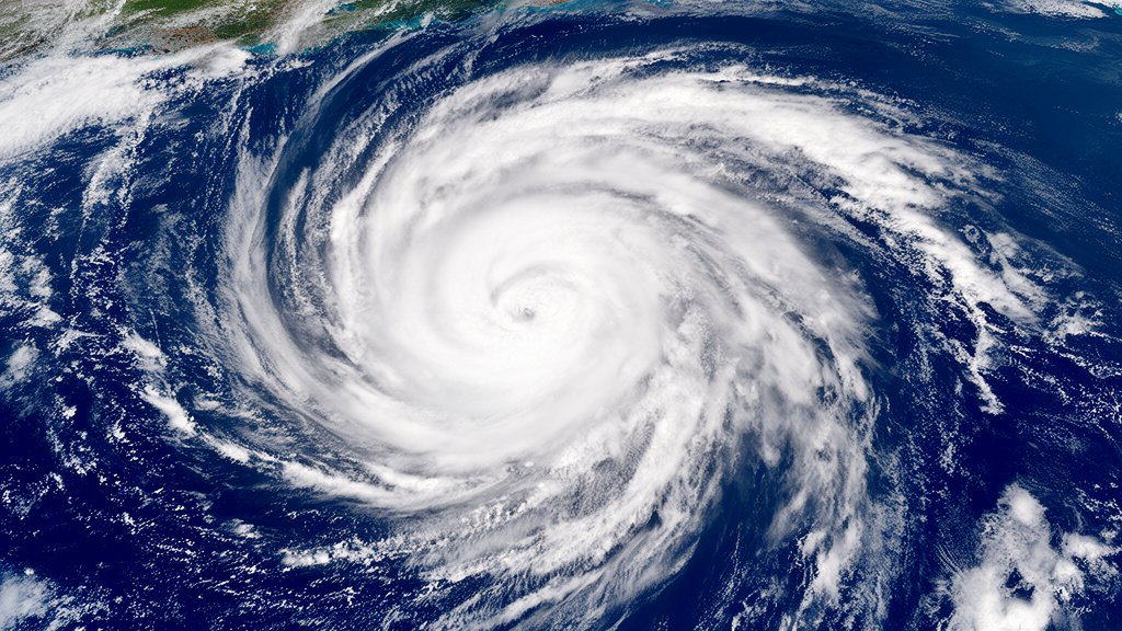

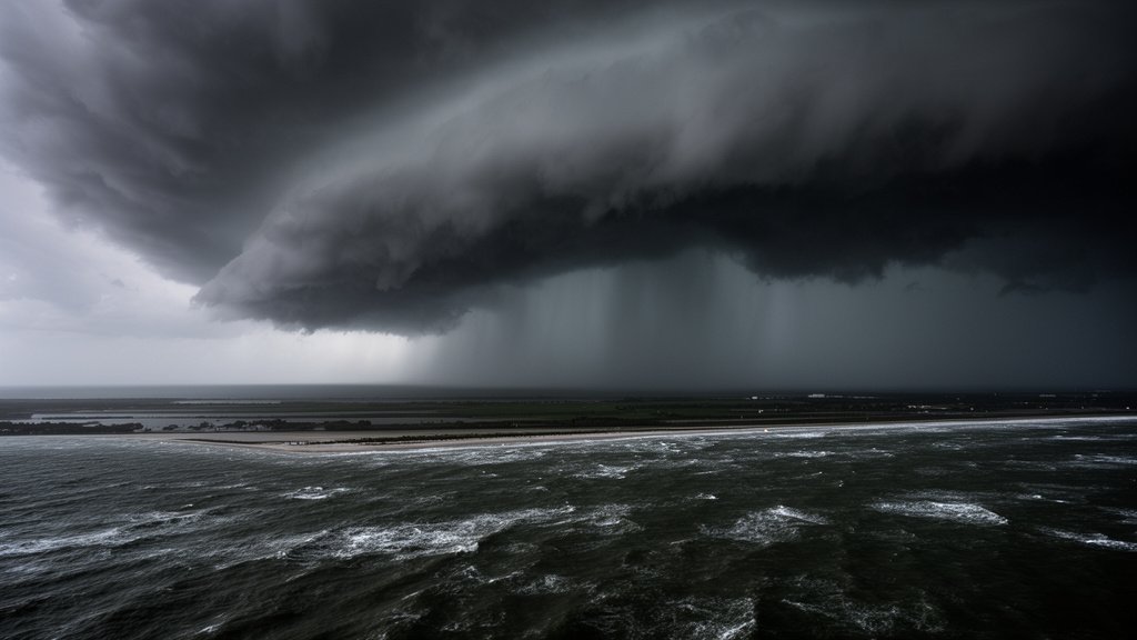
Tropical Storm Isaias has officially completed its transition into the first hurricane of the 2026 Atlantic season, a development that has triggered urgent meteorological alerts across the U.S. northern Gulf Coast. As the system intensifies, the primary concern for regional authorities has shifted from high-wind damage to the more persistent and dangerous threat of flash and river flooding. Residents in low-lying areas are being advised to finalize emergency preparations immediately as the hurricane tracks toward critical coastal infrastructure.
Key Highlights
- Official Upgrade: The National Hurricane Center (NHC) has officially upgraded Isaias from a tropical storm to a Category 1 hurricane on the Saffir-Simpson scale.
- Primary Threat: Heavy rainfall is the main concern, with flash and river flooding posing a significant risk to the northern Gulf Coast region.
- Regional Alert: Residents in coastal communities, particularly across Louisiana, Mississippi, and Alabama, have been issued severe weather alerts.
- Emergency Protocols: Authorities are urging immediate adherence to evacuation orders in flood-prone zones and the securing of essential resources.
The Meteorological Shift: Tracking Hurricane Isaias
The intensification of Isaias marks a significant turning point in the 2026 Atlantic hurricane season, which had previously remained relatively quiet until this sudden development. Meteorologists at the National Hurricane Center observed a rapid drop in central pressure, accompanied by a distinct tightening of the storm’s inner core, which signals the transition into a hurricane. As Hurricane Isaias moves across the warm waters of the Gulf, the storm is drawing additional fuel, leading to the classification upgrade that has prompted federal and state agencies to elevate their response posture.
The Anatomy of the Threat
While wind speeds are a metric for hurricane classification, the structural threat of Isaias is defined by its moisture profile. Unlike smaller, more compact storms, this system is interacting with a moisture-rich environment that threatens to dump unprecedented levels of precipitation. The geography of the northern Gulf Coast, characterized by complex bayou systems and tidal rivers, is particularly vulnerable to the “backing up” of water. When storm surge meets heavy inland rainfall, the result is often severe, long-lasting river flooding that can isolate communities for days, even after the storm’s eye has made landfall and weakened.
Coastal Infrastructure and Vulnerability
For the northern Gulf Coast, the timing of this hurricane is critical. The region’s infrastructure, ranging from essential oil and gas facilities to residential grid systems, is currently bracing for the impact. Industrial operators in the Gulf have already begun activating contingency protocols to secure equipment, while local municipal water management districts are lowering reservoir levels to accommodate the incoming surge. This proactive approach is essential, as the saturated soil conditions in the region—left over from recent spring weather patterns—significantly reduce the ground’s ability to absorb excess rainfall, accelerating the onset of flash flooding.
Navigating the 2026 Season: Broader Context
The emergence of Hurricane Isaias early in the 2026 season raises questions regarding the predictability of this year’s Atlantic cycle. Climate analysts and hurricane researchers utilize these early-season events as barometers for the months ahead. Often, the early formation of a hurricane in these latitudes suggests that ocean surface temperatures are warmer than historical averages, providing the necessary thermal energy for early system development.
Economic and Environmental Impacts
Beyond the immediate safety concerns, the economic implications are substantial. The Gulf Coast serves as a linchpin for the U.S. energy sector, and a direct hit—even from a Category 1 storm—can result in the precautionary shutdown of offshore drilling platforms and coastal refineries. These closures create ripple effects in energy markets, often leading to temporary volatility in fuel prices. From an environmental standpoint, the hurricane also threatens fragile coastal wetlands that act as natural buffers against storm surges. The erosion caused by such a system can take years to recover, highlighting the long-term environmental cost of these increasingly active storm seasons.
Preparation and Emergency Readiness
For residents in the path of the storm, the window for preparation is closing. Emergency management agencies, including FEMA, have emphasized that the difference between survival and crisis often rests on individual preparedness. Key actions include clearing storm drains, securing loose outdoor property that could become projectiles, and, most importantly, having a documented evacuation route. With the threat of flash flooding, even areas that have historically avoided coastal damage could find themselves inundated. Relying on local weather reports and adhering strictly to guidance from emergency services is the only way to mitigate risk during this event.
FAQ: People Also Ask
1. What is the difference between flash flooding and river flooding in the context of this hurricane?
Flash flooding occurs rapidly, often within minutes or hours of heavy rainfall, overwhelming drainage systems and city infrastructure. River flooding is a slower, more prolonged process where rivers and streams exceed their capacity, potentially affecting areas far inland from the coast days after the hurricane has dissipated.
2. Why was Hurricane Isaias upgraded so quickly?
Rapid intensification typically occurs when a tropical system moves over deep, warm water and encounters favorable atmospheric conditions, such as low vertical wind shear. These factors allow the storm’s core to consolidate quickly, enabling it to convert thermal energy into wind speed more efficiently.
3. Are there specific areas of the Gulf Coast at higher risk?
While the entire northern Gulf Coast is under alert, low-lying coastal parishes in Louisiana, southern Mississippi, and the coastal counties of Alabama are at the highest risk for both storm surge and significant flooding due to the flat topography of the region.