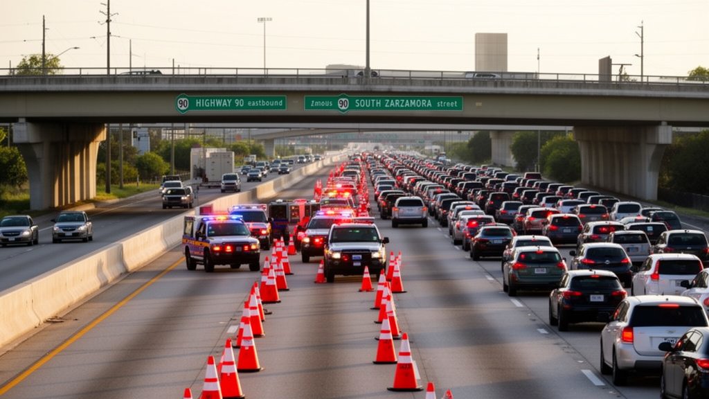

Governor Greg Abbott has activated Texas’ emergency resources to prepare for widespread heavy rainfall and a significant flash flood threat anticipated to impact South Texas from Monday afternoon through Thursday. The region is expected to experience multiple rounds of rain, with totals ranging from 1-3 inches across much of the area, and potentially exceeding 6 inches in some locations, particularly near the Rio Grande.
Key Highlights:
- Governor Activates Resources: Governor Greg Abbott has directed the Texas Division of Emergency Management (TDEM) to activate state emergency response resources to address the impending severe weather and flash flooding.
- Extensive Rainfall Expected: South Texas could receive 1-3 inches of rain over four days, with isolated areas near the Rio Grande possibly getting over 6 inches.
- Flood Risk Elevated: Flash flooding is a primary concern, especially in urban areas and along rivers and creeks, with a Level 3 risk identified west of San Antonio for Tuesday.
- State Agency Mobilization: Various state agencies, including swiftwater rescue teams, the Texas National Guard, and the Department of Public Safety, are on standby to assist local officials.
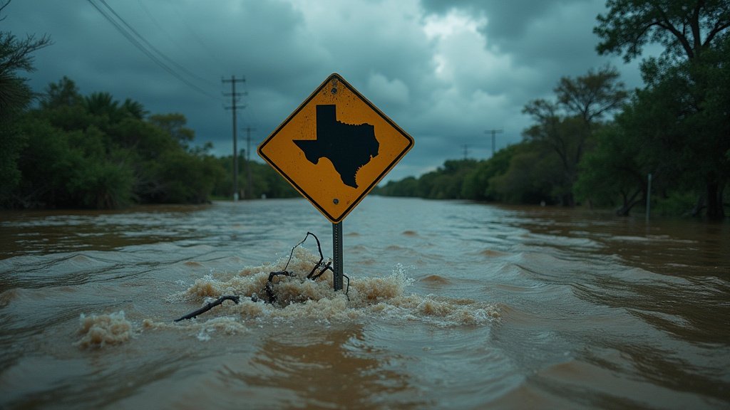
- Public Advisory: Residents are strongly advised to stay weather-aware, monitor forecasts, and heed guidance from officials, remembering to “Turn Around, Don’t Drown.”
South Texas Under Severe Weather Threat: Rainfall and Flood Risks Intensify
The Governor’s directive comes as a moisture-rich weather pattern is set to drench large portions of Texas, with slow-moving storms posing flash flood risks across North, West, Central, South, and East Texas, beginning Sunday night and peaking early to midweek. The National Weather Service has issued flash flood watches for the affected areas.
Rainfall Projections and Geographic Focus
Daily chances of showers and thunderstorms are anticipated from Monday night through Thursday. While widespread rainfall of 1-3 inches is forecast over the next four days, the National Weather Service indicates that some areas, particularly near the Rio Grande, could receive over 6 inches. By Wednesday and Thursday, the focus of the heaviest rain is expected to shift further west towards the Rio Grande, with potential rainfall totals reaching up to 5 inches, and isolated spots possibly experiencing up to 8 inches in the Rio Grande and Edwards Plateau areas. In San Antonio, the best odds for rain are expected during the late afternoon and into the night, with a possibility of heavy rain developing in spots, making the Tuesday morning commute a potential concern.
State Emergency Response Mobilization
In anticipation of these threats, Governor Abbott has activated a comprehensive suite of state emergency response resources. These include swiftwater rescue boat squads, urban search and rescue teams, and rescue swimmers from the Texas A&M Engineering Extension Service (Texas A&M Task Force 1 and Texas Task Force 2). The Texas National Guard is on standby with personnel, high-profile vehicles for stranded motorists, and Blackhawk helicopters for flood rescues. The Texas Department of Public Safety is providing Texas Highway Patrol Troopers, helicopters with hoist capability, and the Tactical Marine Unit. Additionally, the Texas Parks and Wildlife Department has deployed game wardens and rescue boat teams, while the Texas Department of State Health Services (Texas Emergency Medical Task Force) has prepped severe weather support packages including medics, ambulances, and all-terrain vehicles.
Public Safety and Preparedness
Officials are emphasizing preparedness and safety, urging residents to monitor local forecasts, heed guidance from state and local officials, and to never drive or walk through flooded roadways, reinforcing the critical message: “Turn Around, Don’t Drown.” Texans are encouraged to proactively prepare by reviewing family communication plans, assembling emergency supply kits, and staying informed about real-time road conditions via DriveTexas.org. Comprehensive severe weather preparedness information is also available at TexasReady.gov, flood information at TexasFlood.org, and all-hazards preparedness tips at tdem.texas.gov/prepare.
Secondary Angles and Broader Impact
Beyond immediate flood concerns, the activation of these resources highlights the state’s commitment to managing multi-faceted disaster response. Agencies such as the Public Utility Commission of Texas are monitoring power outages and coordinating with utility providers, while the Railroad Commission of Texas is overseeing natural gas supplies and communicating with the oil and gas industry. The Texas Commission on Environmental Quality is involved in air, water, and wastewater monitoring, and the Texas A&M AgriLife Extension Service is ready to support agricultural and livestock needs. This coordinated effort underscores the interconnectedness of state agencies in mitigating the broader impacts of severe weather events, extending beyond direct rescue operations to include critical infrastructure and agricultural stability.
FAQ: People Also Ask
What is the primary risk associated with the predicted weather in South Texas?
The primary risk is heavy rainfall leading to significant flash flooding in urban areas, as well as potential river and creek flooding, especially west of San Antonio.
How much rainfall is expected in South Texas?
Over the next four days, widespread rainfall of 1-3 inches is anticipated, with some areas, particularly near the Rio Grande, potentially receiving over 6 inches. By Wednesday and Thursday, totals could reach up to 5 inches near the Rio Grande, with isolated spots possibly seeing up to 8 inches.
Which state agencies have been activated to assist with flood response?
Key agencies include the Texas Division of Emergency Management, Texas A&M Engineering Extension Service (Task Forces 1 & 2), Texas National Guard, Texas Department of Public Safety, Texas Parks and Wildlife Department, and the Texas Department of State Health Services (Texas Emergency Medical Task Force).
What is the main safety message for residents during this severe weather event?
The main safety message is to “Turn Around, Don’t Drown,” emphasizing that residents should never drive or walk through flooded roadways and should always stay weather-aware and heed guidance from officials.