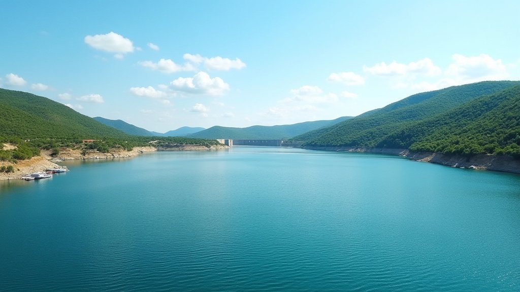

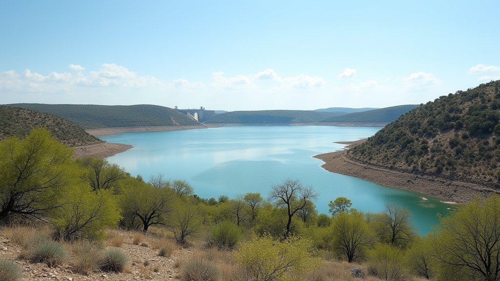
Choke Canyon Reservoir, a primary water source for the Coastal Bend region of South Texas, has experienced a significant hydrological recovery, with its water supply tripling in volume following a series of intense storm events. Data confirmed by regional water authorities indicates the reservoir has risen to 24% capacity, marking the highest water levels observed since 2024. This influx of water, driven by substantial runoff from the Nueces and Frio rivers, serves as a crucial relief point for a region that has been grappling with persistent and aggressive drought conditions.
Key Highlights
- Significant Recovery: Water levels at Choke Canyon Reservoir have tripled in volume, reaching 24% of total capacity.
- River System Impact: The surge is attributed to concentrated storm runoff channeled through the Nueces and Frio river basins.
- Drought Relief: This event provides a temporary but necessary reprieve for the Coastal Bend municipal water supply.
- Historical Context: While the reservoir is not at full capacity, this metric represents the most favorable water status for the facility since the beginning of 2024.
A Critical Surge: Analyzing the Reservoir’s Recovery
The stabilization of the Choke Canyon Reservoir is more than a mere statistics update; it is a vital indicator of the health of the South Texas water infrastructure. For the last several years, the Coastal Bend has navigated a precarious water supply landscape, characterized by evaporation, limited rainfall, and increasing municipal demand. The recent tripling of the reservoir’s water volume—driven by heavy, localized rainfall—underscores the volatility of the region’s climate and the critical importance of watershed management.
The Mechanics of the Recovery: From Rainfall to Reservoir
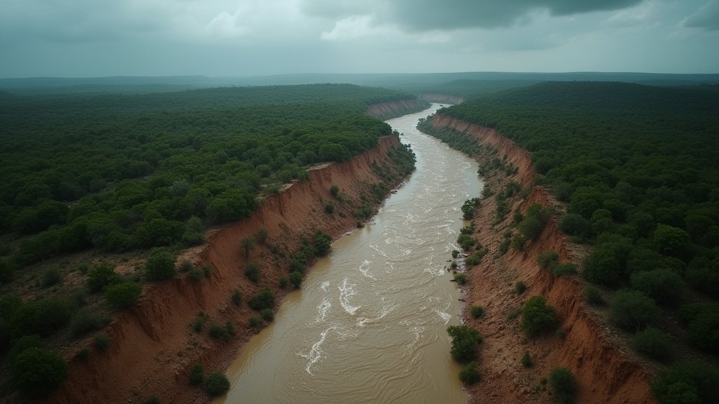
The recovery of the reservoir is not a coincidental event but a result of precise topographical and hydrological conditions. When heavy rainfall strikes the upper reaches of the Nueces and Frio river basins, the water does not immediately vanish into groundwater or evaporate. Instead, it is collected through a vast network of tributaries. The geography of South Texas, which features significant drainage basins, allows this storm runoff to be captured and funneled directly into the reservoir system. This process is complex, requiring specific soil saturation levels to ensure the water makes it to the lake rather than being absorbed by the surrounding dry, drought-stricken landscape. The recent storms provided enough intensity and duration to overcome the ‘soil moisture deficit,’ effectively priming the watershed for the runoff that eventually reached the reservoir gates.
Economic and Municipal Implications for the Coastal Bend
The ramifications of this water level increase are substantial for local municipalities, including the City of Corpus Christi, which relies on the reservoir as a key part of its total water supply mix. A 24% capacity status provides a buffer for the region, reducing the immediate pressure on conservation measures and municipal water restrictions. Economically, this is a significant boon for agricultural interests in the vicinity, which often face the strictest water curtailments during drought cycles. While the reservoir remains below optimal historical averages, the current status allows for a temporary easing of the emergency drought contingency plans that have defined the operational parameters for local businesses and utility providers over the past two years.
Long-term Water Security and Infrastructure
Despite this positive development, experts at the Texas Commission on Environmental Quality (TCEQ) caution against complacency. The inherent instability of the regional water cycle necessitates a long-term approach to drought management. The ‘tripling’ of the supply is a recovery from a very low baseline, and while the progress is objectively positive, the reservoir remains vulnerable to extended periods of heat and lack of rainfall. Future strategy must focus on diversification—integrating reservoir supply with desalination efforts, wastewater recycling, and advanced leak-detection technology within the municipal piping infrastructure. The goal is to build a system resilient enough to withstand years of scarcity, regardless of whether the Nueces and Frio rivers provide the seasonal ‘gift’ of storm runoff.
FAQ: People Also Ask
1. Does reaching 24% capacity mean the drought in South Texas is over?
No. While the rise in water levels is a significant and positive improvement, drought conditions are assessed based on long-term trends, soil moisture, and aquifer levels across a much wider region. A single reservoir recovering does not immediately end the regional drought status.
2. Why is Choke Canyon Reservoir so important to the region?
Choke Canyon, often operated in conjunction with Lake Corpus Christi, serves as one of the essential water sources for the Coastal Bend. It is critical for the municipal, industrial, and agricultural needs of the communities served by the City of Corpus Christi’s water utility.
3. How does the Nueces and Frio river system affect the reservoir?
These rivers act as the primary ‘inflow’ system for the reservoir. The Choke Canyon dam collects water flowing downstream from these rivers. The amount of water in the reservoir is directly tied to the rainfall received within these specific watersheds.
4. What are the next steps for water management in the area?
Authorities will continue to monitor the water levels against historical consumption rates. The focus shifts from emergency accumulation to sustainable management, ensuring that the water captured during these events is preserved through ongoing conservation efforts and infrastructure investments.