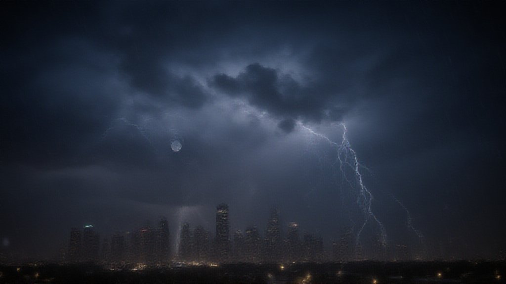
Severe thunderstorms are targeting the Houston area. The National Weather Service issued critical alerts. Residents need to prepare for significant weather. This news is a top trending topic for Texas. The storms bring a serious threat. They arrived on Sunday, March 8, 2026. A wide swath of southern Texas faces danger. A severe thunderstorm watch was in effect. It lasted until 11 p.m. that night. Hail alerts specifically targeted parts of Houston. Residents must take immediate action. The weather event is a significant concern.
Storm Details and Threats
The National Weather Service warned of specific dangers. These storms could produce large hail. Hailstones might reach the size of quarters. Some reports mentioned ping pong ball-sized hail. Strong winds are also a major factor. Wind gusts could exceed 60 miles per hour. Frequent lightning is another risk. Heavy rainfall will accompany the storms. This can lead to localized flooding. Low-lying areas are particularly vulnerable. Dry, hardened soils may worsen runoff. Flash flooding is a concern for some areas. Residents should monitor official updates closely. The NWS is tracking the system closely.
Timing and Immediate Impacts
The severe weather began Saturday afternoon. Storms approached Houston between 3 and 6 p.m. They were expected to move offshore by 9 p.m. Coastal areas saw storms later in the evening. Sunday morning brought higher chances for Houston. Rain chances were about 50% between 4 and 9 a.m. The storms caused immediate disruptions. About 4,000 power outages occurred. This affected CenterPoint Energy customers. The RodeoHouston canceled its drone show. Organizers advised guests to seek shelter. Rides and outdoor events might pause. This highlights the danger for large gatherings. Many residents received safety advisories. Staying informed is crucial for safety.
Broader Context: Climate and Texas Weather
This severe weather event underscores a larger trend. Experts link it to climate change. Climate change fuels more frequent storms. It also intensifies them. Texas is seeing more extreme weather patterns. This includes a growing gap between wet and dry regions. Warming global temperatures increase evaporation. This adds more moisture to the atmosphere. Such conditions create heavier rain. Texas has already faced many weather extremes. These include wildfires, flooding, and tornadoes. Past severe events caused widespread damage. Power outages and income loss are common impacts. Residents must adapt to these changes. Severe weather season is a yearly concern for Texas.
Safety and Preparedness
Authorities urge residents to stay weather aware. The National Weather Service is the primary source for warnings. People should have a safety plan. Seek shelter immediately when warnings are issued. Avoid unnecessary travel during storms. Secure outdoor items that could blow away. Driving through flooded roads is dangerous. Never attempt to cross flooded streets. Residents should check on neighbors. Preparedness is key to safety. Stay tuned to local news for updates. Following official instructions saves lives.
Looking Ahead
The storm system is expected to move out. However, more unsettled weather may follow. Climate scientists warn that extreme events will continue. Understanding these patterns is vital. Texas residents must remain vigilant. The threat of severe weather is a growing reality. This recent event serves as another reminder. It emphasizes the need for preparedness. These trending weather events impact daily life. Staying informed is the best defense. This Texas news highlights ongoing climate concerns.