A massive Winter Storm Fern is sweeping across the United States, beginning its impact on parts of New Mexico and Texas on Friday, January 23, 2026, and threatening catastrophic damage. Widespread power outages are a major concern associated with Winter Storm Fern, and extremely cold weather is also expected. This US winter storm is already causing significant issues.
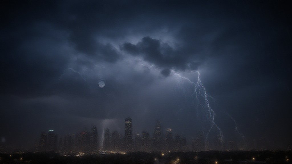
Forecasters warn of severe conditions. Wind chills could reach minus 50 degrees Fahrenheit in some areas. The potential damage from ice accumulation from Winter Storm Fern is compared to a hurricane. Approximately 160 million people are under winter storm or cold weather alerts, making this a major eastern US weather event.
Winter Storm Fern Path and Forecasted Conditions
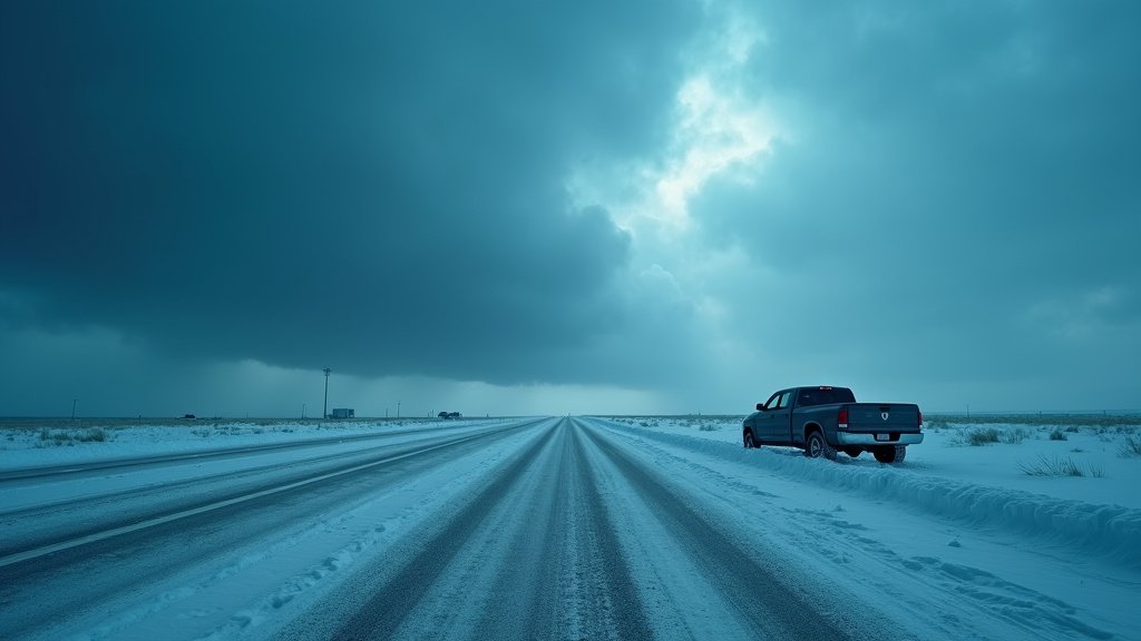
The storm started in the southern Plains. It is moving eastward across the South. Heavy snow and ice are expected. These conditions will affect the eastern two-thirds of the US. Forecast models show a vast area impacted by Winter Storm Fern. This stretch covers about 2,000 miles.
Snowfall totals could exceed a foot in many places. Parts of the Texas Panhandle and the Ozarks might see over a foot of snow. The central Appalachians and Northeast could receive up to 2 feet. Freezing rain and sleet are also significant threats from Winter Storm Fern. These will create treacherous conditions for travel. Furthermore, dangerously cold air follows the storm. This cold air will linger for days, contributing to the risks of this US winter storm.
Texas and Oklahoma Face Initial Fury of Winter Storm Fern
Texas and Oklahoma are feeling the storm’s early effects. Heavy snow and ice are already creating hazards. Roadways are becoming extremely difficult to navigate. Major interstates like I-10 and I-35 are impacted. Travel is highly discouraged throughout the weekend due to Winter Storm Fern.
Oklahoma’s Department of Transportation pretreated highways. They used salt brine to prepare for the freeze. In Texas, winter storm warnings are in effect. These warnings run from Friday through Sunday. Ice accumulation is a primary concern for Texas. Total ice amounts between one tenth and three tenths of an inch are possible. This could lead to power outage risks and tree damage from Winter Storm Fern.
Widespread Travel Disruptions Due to Winter Storm Fern
Air travel is significantly impacted. Many airlines have issued travel advisories. Delta Air Lines canceled flights in North Texas, Oklahoma, Arkansas, Louisiana, and Tennessee. American Airlines is waiving change fees for flights through Dallas-Fort Worth. United Airlines also offers flexibility for affected routes due to Winter Storm Fern.
More than 1,000 flight cancellations are expected. Atlanta (ATL), Dallas-Fort Worth (DFW), and Charlotte (CLT) are major hubs facing disruption. Travelers are urged to check flight status frequently. Airlines recommend arriving at airports early. They also advise using mobile apps for updates. Road travel will also be severely affected by Winter Storm Fern. Snow and ice can make roads nearly impossible to traverse, leading to travel disruptions.
Official Preparedness and Power Grid Status Amidst Winter Storm Fern
Texas officials are taking proactive steps. Governor Greg Abbott declared a disaster for 134 counties. He activated the state’s emergency response resources. Governor Abbott stated the state’s power grid is stronger and more prepared than during the 2021 storm, a significant point in managing Winter Storm Fern.
Abbott assured citizens that abundant power is available. He noted that any outages would likely stem from ice or wind damaging power lines. This is not a sign of grid failure during Winter Storm Fern. The Electric Reliability Council of Texas (ERCOT) expects sufficient power. Historic investments have bolstered the grid since 2021. The grid has added significant generation capacity. New laws ensure power plants have alternative fuel sources, enhancing resilience against events like Winter Storm Fern.
Extreme Cold and Dangerous Wind Chills: The Threat of Winter Storm Fern
Beyond snow and ice, extreme cold is a major threat from Winter Storm Fern. The polar vortex is dipping into the eastern US. This will bring temperatures well below average. Wind chills could drop as low as minus 50 degrees Fahrenheit. This is dangerous for exposed skin. Frostbite can occur within minutes during this extreme cold warnings period.
Sub-zero wind chills are forecast for the Southern Plains. Temperatures are expected to remain below freezing for days. This prolonged cold increases risks to infrastructure and prolongs hazardous travel conditions. Freezing temperatures are forecast even for Florida, highlighting the widespread reach of Winter Storm Fern’s extreme cold.
Looking Ahead After Winter Storm Fern
This major winter storm, Winter Storm Fern, affects a vast portion of the country. More than 160 million people are under alerts. The storm’s exact track and accumulation details remain uncertain. Small shifts can cause large changes in local impacts. Officials advise completing preparations soon. They also urge closely monitoring forecasts for updates on Winter Storm Fern. The nation braces for a challenging weather event. The impacts could be long-lasting. Residents are encouraged to stay informed and safe.