Texas is currently facing a severe winter storm.
This event brings hazardous conditions across the state. Residents are urged to stay off roads. Mass flight cancellations are occurring. Power outages are reported in various areas. Snow, sleet, and freezing rain are falling. An Arctic air mass is following the storm.
This cold air will bring dangerously low temperatures for days. The National Weather Service issued warnings. These warnings highlight lingering icy conditions. They also emphasize dangerous travel. Many North Texas school districts closed. Churches and businesses also announced closures. This impacts Monday and Tuesday. Texas State University canceled classes. Its offices also closed. University events were canceled too. This occurred on Monday, January 26.
Storm’s Impact on Travel and Daily Life
The storm has caused significant travel disruptions. Major airports saw mass flight cancellations. Dallas/Fort Worth International Airport (DFW) had about 1,200 cancellations on Sunday. Houston’s Bush Intercontinental Airport (IAH) also saw over 450 cancellations. FlightAware tracked these numbers. The Texas Division of Emergency Management urged caution. They advised avoiding unnecessary travel. Thousands of roads were covered in ice on Sunday. This made driving treacherous. Some roads were closed due to ice. This included specific ramps. For example, the Grand Parkway ramp to SH-290 in Houston was closed. This created widespread travel chaos. Many flights are being canceled for Monday as well. Over 3,500 flights were canceled for Monday. Major airlines issued travel advisories. They warned of delays and cancellations. This impacted millions of travelers nationwide.
Widespread Closures Disrupt Education and Business
Educational institutions across Texas are shutting down. Numerous school districts canceled classes. Many universities also suspended operations. Texas State University canceled classes and closed offices on Monday, January 26. University of Texas at Austin also remained closed. All classes and events were canceled. Austin Community College campuses closed. St. Edward’s University moved to remote operations. Many other school districts, including those in Austin, Dallas, and Houston, announced Monday closures. Some closures extend into Tuesday. This includes districts like Allen ISD, Arlington ISD, and Fort Worth ISD. Colleges like Collin College and Dallas College also announced Tuesday closures. Business closures are also widespread. Churches and local businesses shut their doors for safety. City services were also impacted. Dallas suspended trash and recycling pickup on Monday.
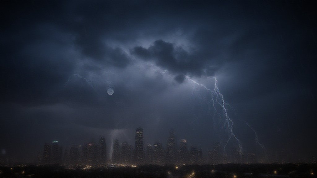
Power Grid Stability and Outages
Officials expressed confidence in the Texas power grid. ERCOT (Electric Reliability Council of Texas) stated the grid is ready. They assured Texans the grid can handle the storm. Governor Abbott said the grid has never been stronger. ERCOT has increased reserve margins. This is for severe weather events. The state has a significant amount of natural gas. This fuels over half of its power. Power plants have also been hardened since 2021. Despite these assurances, some power outages occurred. Over 93,000 customers in Texas were without power by Sunday morning. Nacogdoches County reported over 10,000 outages. Shelby County had over 7,500 outages. Panola, Sabine, and Rusk counties also saw outages. East Texas was particularly affected. The U.S. Department of Energy issued an emergency order. This allowed deployment of backup energy resources. This was to mitigate blackouts. Data centers and major facilities were asked to use backup generators. However, ERCOT reported normal grid conditions. They had sufficient operating reserves. The U.S. Department of Energy stated it was unclear if backup generators would be needed. The situation is seen as fundamentally different from the 2021 storm.
Dangers of Extreme Cold and Icy Conditions
An Extreme Cold Warning remains in effect for South Central Texas. It continues through Monday morning. Wind chills could reach as low as 5 below zero in the Hill Country. Elsewhere, wind chills may feel like single digits and teens. Overnight lows are expected to be in the single digits and teens. In some northwest counties, temperatures could drop below zero. Wind chills will be dangerously cold. This poses risks of hypothermia. Icy surfaces will remain on untreated roads. They will persist through at least Monday noon. Hazardous travel conditions continue. This is due to ice from sleet and freezing rain. Bridges and overpasses are particularly dangerous. Standing water can refreeze. This creates black ice. The National Weather Service warns of this. They advise staying off roads unless necessary. The public is urged to protect people, pets, pipes, and plants. Minimize time outdoors. Prepare for potential power outages. Check on vulnerable individuals. Keep pets warm and dry indoors. Ensure their food and water does not freeze.
Broader National Impact
This winter storm is a major event. It stretches over 2,000 miles. It affects regions from Northern Mexico to Canada. It’s unofficially named Winter Storm Fern. By January 25, over 1 million customers had lost power. The majority were in the Deep South. Texas reported roughly 93,000 outages. Louisiana had over 145,000. Mississippi reported over 178,000. Over 10,000 U.S. flight cancellations occurred on Sunday. This was the most in a single day since the COVID-19 pandemic. More than 15,000 cancellations were possible for Monday. At least 12 fatalities were confirmed nationwide by January 25. This news is developing. Residents should monitor local forecasts. They must follow guidance from emergency officials. Staying informed is key during this severe weather event.