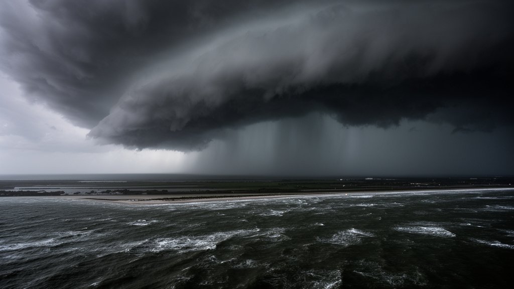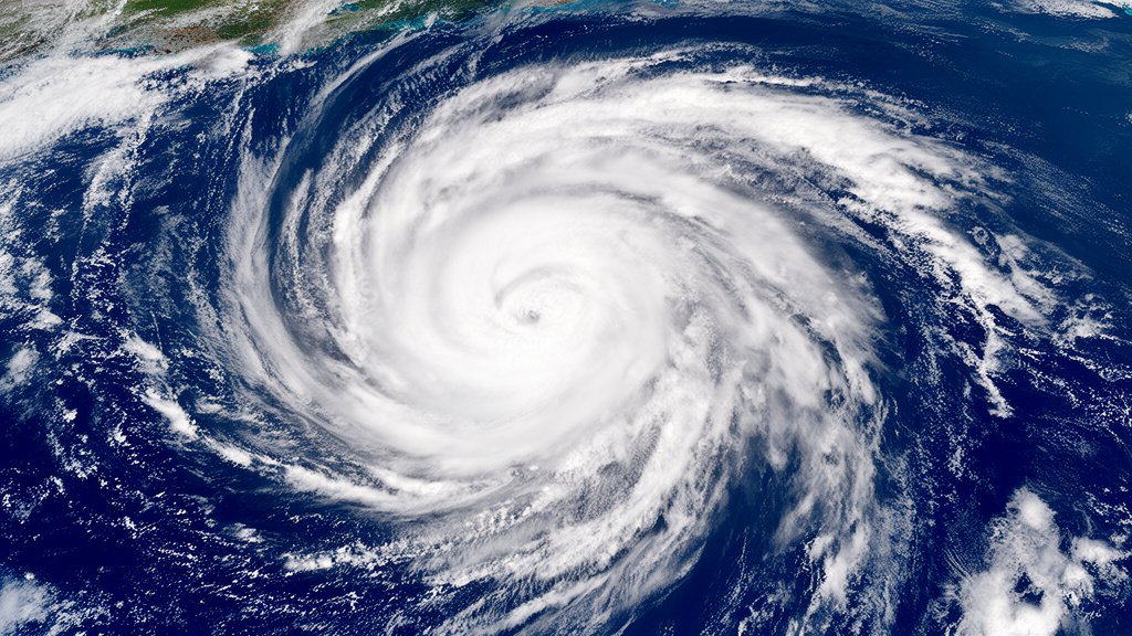

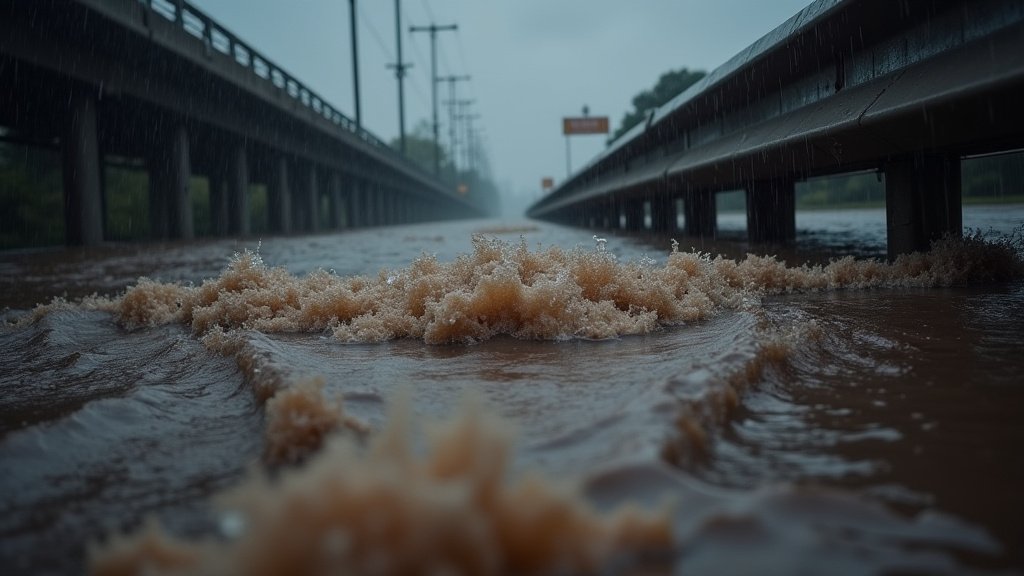
Governor Greg Abbott has proactively activated state emergency response resources across Texas in anticipation of widespread heavy rainfall and significant flash flood threats. The activation comes as a moisture-rich weather pattern is poised to deliver multiple rounds of intense precipitation and slow-moving thunderstorms over the coming days, with the most critical period for flash flooding expected from early to midweek. The National Weather Service has issued stern warnings regarding the potential for damaging wind gusts and large hail to accompany these severe weather systems, underscoring the urgency of preparedness.
Key Highlights
- Governor Abbott has initiated the activation of Texas’s emergency response mechanisms.
- Heavy rainfall and flash flooding are projected across the state throughout the week.
- The National Weather Service has alerted to risks of damaging winds and large hail.
- Residents are advised to monitor local weather updates and exercise extreme caution.
Texas Mobilizes for Severe Weather Threat
Governor Abbott’s directive ensures that state agencies and personnel are on standby to provide assistance and manage potential impacts from the anticipated severe weather. The Texas Division of Emergency Management (TDEM) is coordinating with local authorities to pre-position assets and resources in areas identified as having the highest risk. This includes swift-water rescue teams, essential personnel, and communication systems, all vital for an effective emergency response. The activation is a precautionary measure designed to leverage the full capacity of the state’s emergency management framework to protect Texans.
Understanding the Weather Pattern
The meteorological forecast indicates a persistent influx of moisture from the Gulf of Mexico, fueling a stalled weather system that will likely generate prolonged periods of heavy rain. This pattern is particularly concerning because slow-moving thunderstorms can drop immense amounts of water in a short time, overwhelming drainage systems and leading to rapid flash flooding. The National Weather Service (NWS) has pinpointed several regions within Texas that are most vulnerable, though the threat is considered statewide. Meteorologists are closely monitoring the storm’s development, looking for any shifts that could intensify the rainfall or introduce additional hazards like tornadoes.
National Weather Service Warnings
The NWS has specifically highlighted the dual threat of flash flooding and severe thunderstorms. Damaging wind gusts, capable of downing trees and power lines, and large hail, which can cause significant property damage, are expected to accompany the heaviest downpours. Residents in flood-prone areas are being urged to have a plan in place, including knowing evacuation routes if necessary. The NWS emphasizes that flash floods can occur very quickly and often in areas not typically considered flood zones, making vigilance paramount. The agency’s advisories will be updated regularly as the weather situation evolves.
Preparing for the Impact
State officials are emphasizing the importance of individual preparedness alongside state-level readiness. This includes securing loose outdoor items that could become projectiles in high winds, ensuring that emergency kits are stocked, and having multiple ways to receive weather alerts. Driving during heavy rain is particularly hazardous, and drivers are strongly advised to avoid flooded roadways – the “Turn Around, Don’t Drown” campaign is a critical message during these events. The Texas Department of Transportation (TxDOT) is also preparing for potential road closures and monitoring conditions to ensure the safety of state highways. Local emergency management agencies are disseminating specific guidance for their communities, urging residents to follow instructions from local officials.
Secondary Angle: Economic Implications of Flood Threats
Beyond the immediate safety concerns, severe weather events like widespread flash flooding can have significant economic repercussions for Texas. Damage to infrastructure, including roads, bridges, and utilities, can lead to costly repairs and disrupt commerce. Agricultural sectors, vital to the state’s economy, are particularly vulnerable. Excessive rainfall can damage crops, leading to reduced yields and financial losses for farmers. Furthermore, the activation of emergency resources, while necessary, incurs substantial costs for the state and local municipalities. The long-term economic health of affected regions can be impacted by repeated or severe flood events, necessitating investments in enhanced flood control measures and resilient infrastructure. Planning for disaster recovery and mitigation becomes a critical economic strategy for communities facing these recurring threats.
FAQ: People Also Ask
What specific areas of Texas are most at risk for flash flooding this week?
While the entire state is under a watch, areas along and east of I-35, including Central and East Texas, are currently facing the highest risk of flash flooding from early to midweek. However, conditions can change rapidly, and all residents should stay informed about local advisories.
What kind of damage can be caused by the predicted severe thunderstorms?
The severe thunderstorms are expected to bring damaging wind gusts strong enough to cause structural damage and down trees, as well as large hail that can significantly impact vehicles and properties.
What are the key recommendations for Texas residents during this flood threat?
Residents are urged to stay informed about weather forecasts, have a preparedness plan, avoid driving through flooded roadways, secure outdoor items, and follow instructions from local emergency management officials.
How is Governor Abbott’s activation of emergency resources different from a disaster declaration?
Activating emergency resources means state agencies are preparing and pre-positioning assets to respond to anticipated events. A disaster declaration is typically made after significant damage has occurred and is often a prerequisite for seeking federal aid. This activation is a proactive measure.
What is the “Turn Around, Don’t Drown” campaign?
This is a public safety campaign promoted by the National Weather Service and state agencies that urges drivers to never drive through flooded roadways. Water depth can be deceptive, and even a few inches of moving water can carry away a vehicle.